Where the Trek Starts and Ends
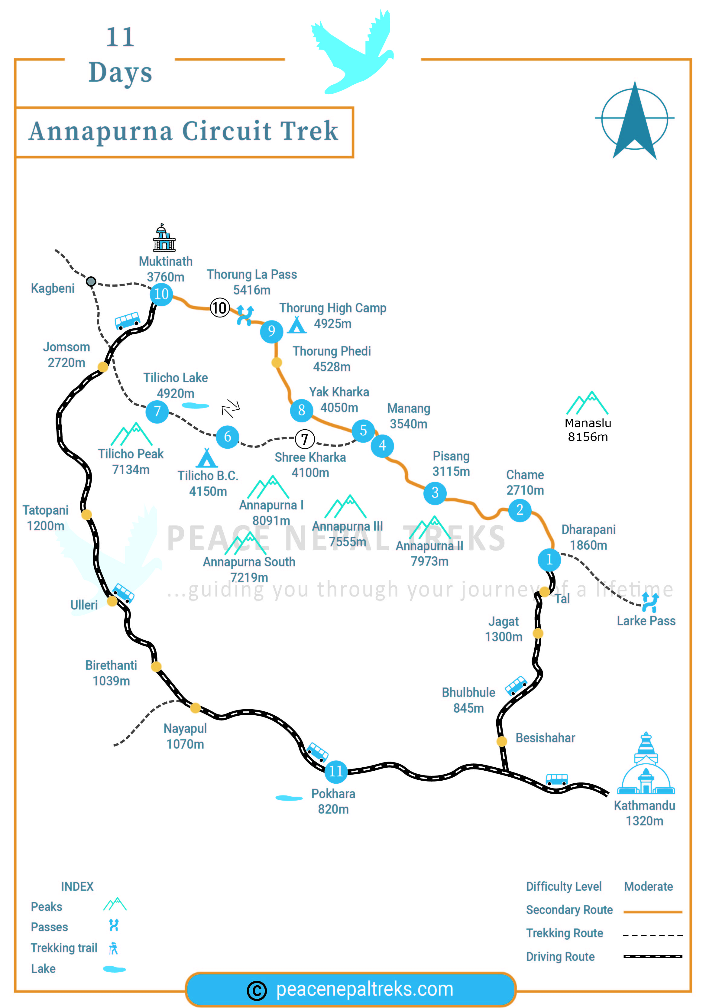
The classic circuit begins at Besisahar (about 750 m) and finishes by descending to Nayapul or Pokhara via Ghorepani, or by road from Muktinath if you want a shorter trip. Most itineraries end in Pokhara either way, since it's the natural gateway back to Kathmandu.
How the Road Has Changed the Classic Route
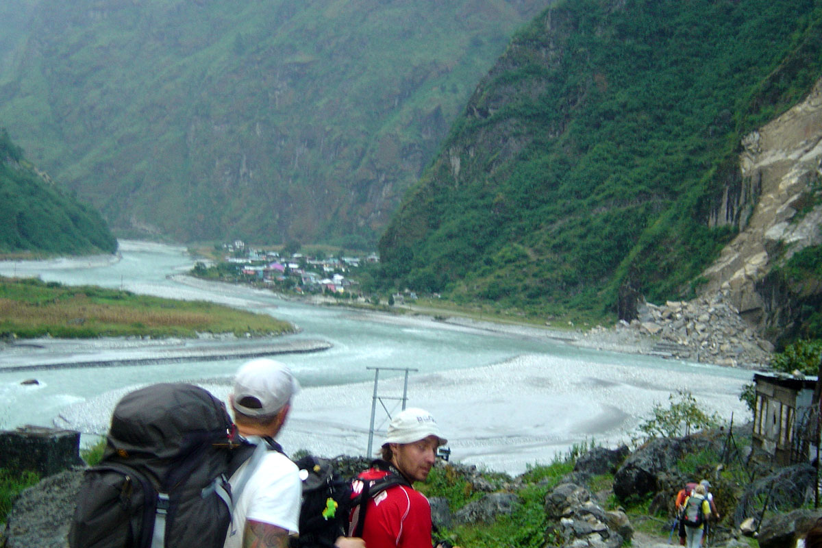
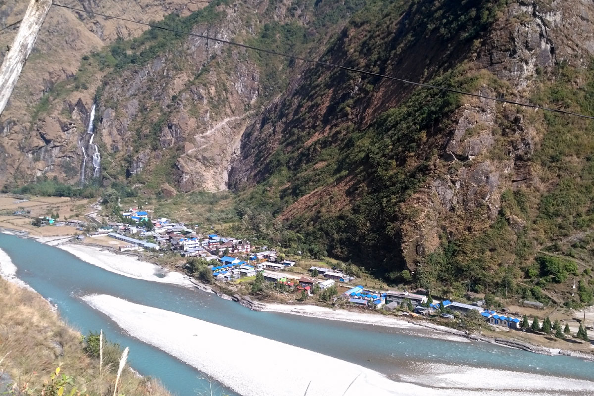
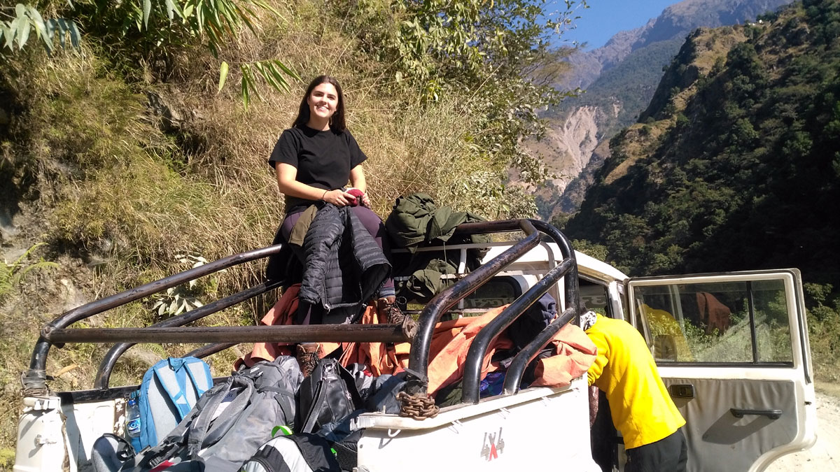
A motorable road now runs up much of the Marsyangdi valley on the eastern approach. Many trekkers now use a jeep or local bus for the first day or two and start walking from Chame or Dharapani, which shortens the trek without cutting out the high-altitude sections that matter most: Manang, Tilicho, Thorong La, and Muktinath. If preserving the full off-road walking experience matters to you, tell your trip planner. It's worth knowing this upfront rather than being surprised by road sections mid-trek.
Detailed Itinerary (13 Days)
| Day | Route | Altitude | Notes |
|---|
| 1 | Drive Kathmandu to Besisahar, continue by jeep to Jagat | 750 m | Around 5 hours to Besisahar, plus a further jeep leg |
| 2 | Drive Jagat to Chame, trek to Bhratang | 2,850 m | |
| 3 | Trek Bhratang to Upper Pisang | 3,300 m | |
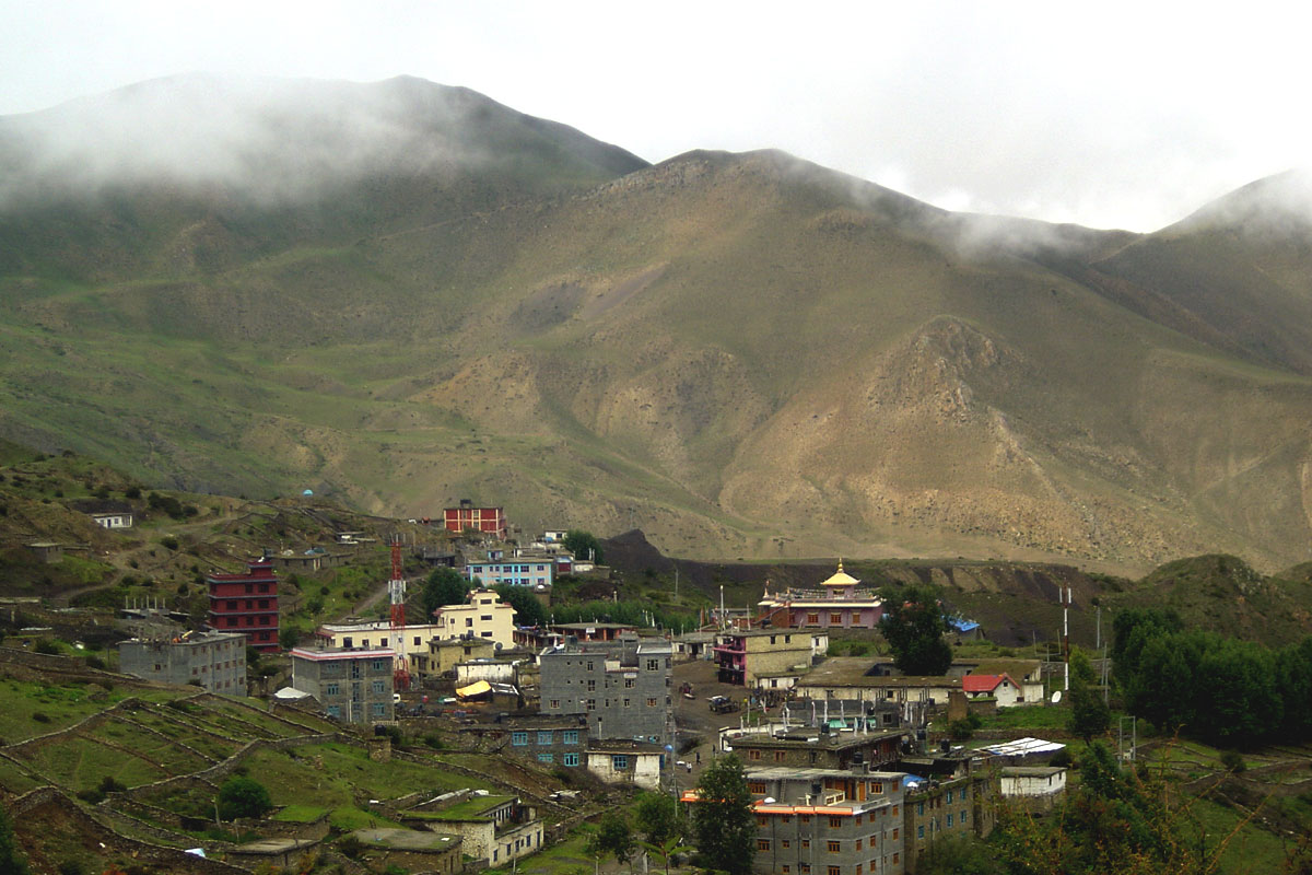
| 4 | Trek Pisang to Manang | 3,540 m | |
| 5 | Acclimatisation day in Manang | 3,540 m | Rest and short day hikes |
| 6 | Trek Manang to Tilicho Base Camp | 4,150 m | |
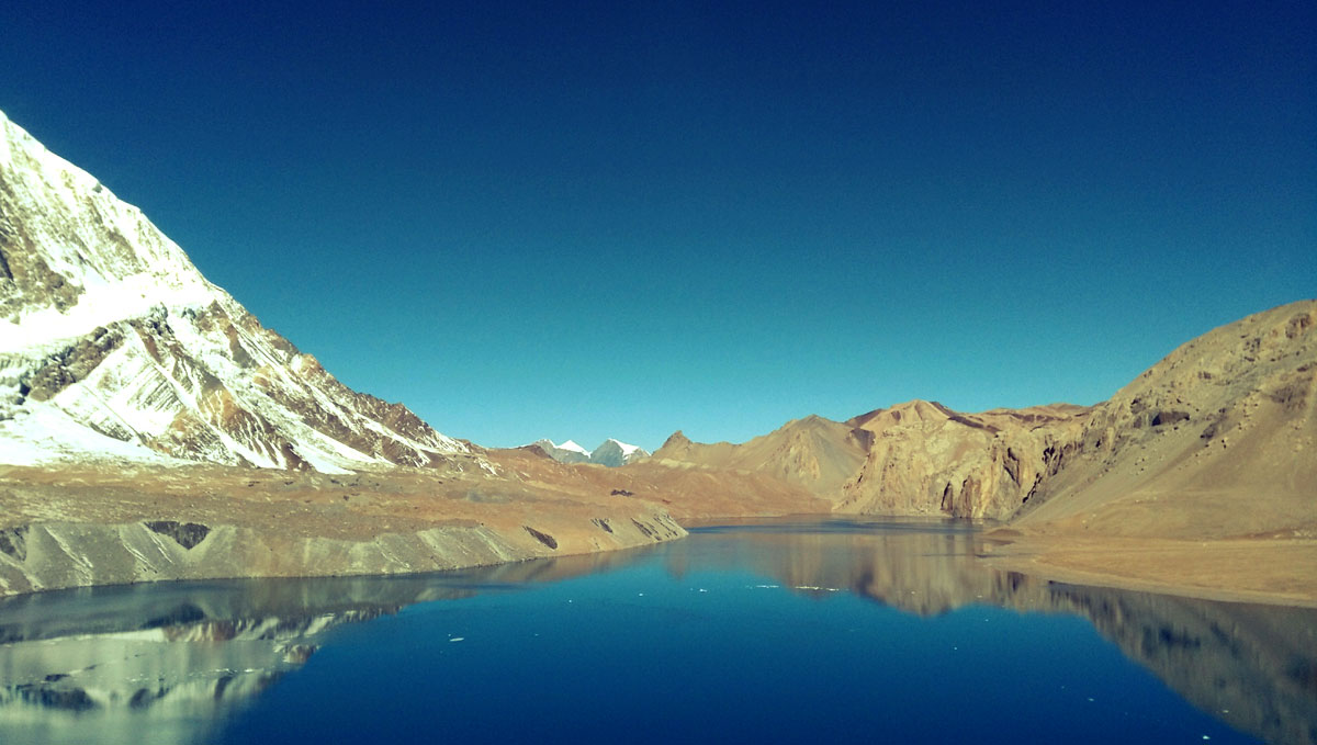
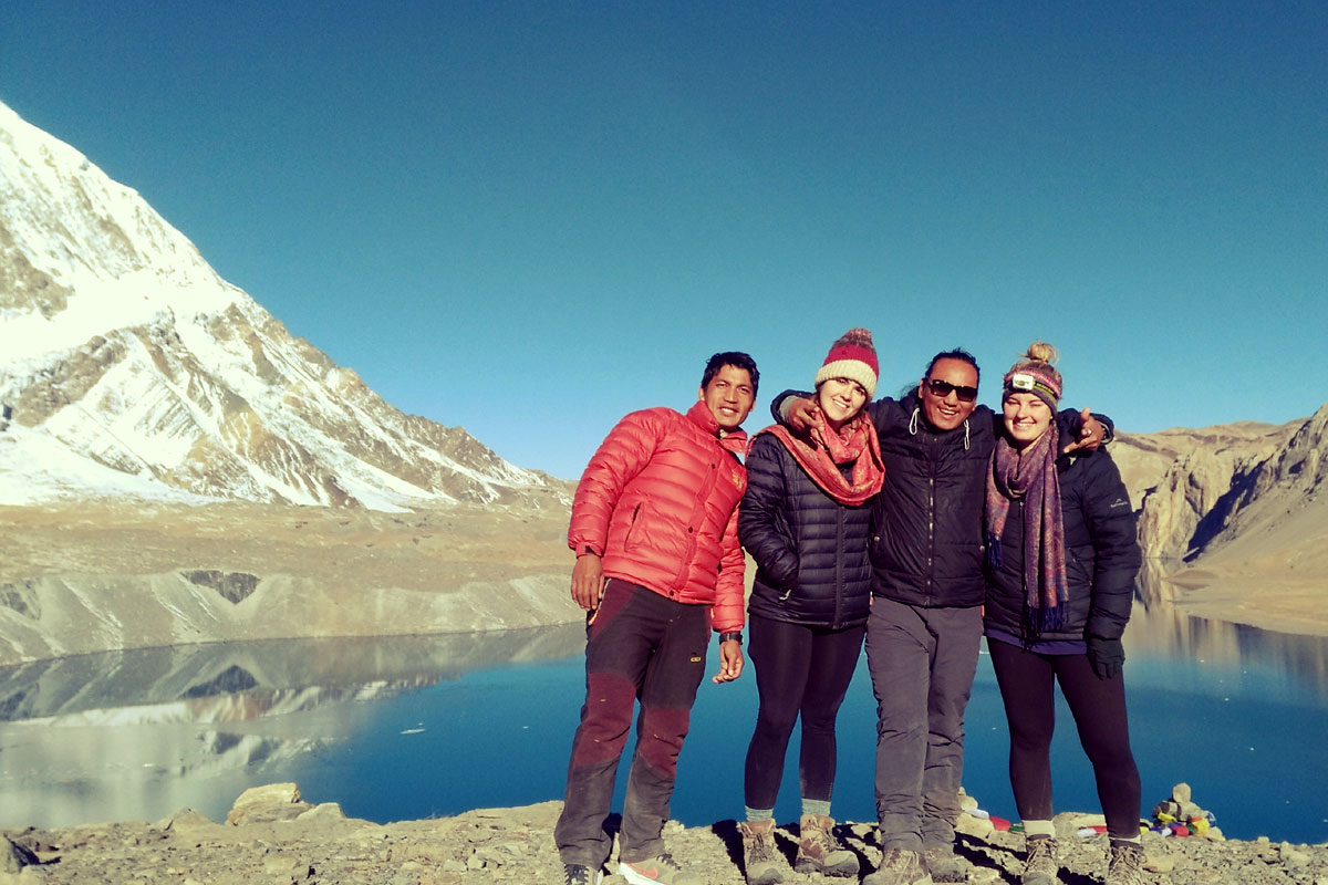
| 7 | Visit Tilicho Lake, return towards Shri Kharka | 4,919 m (lake) | Round trip, carry your own provisions for the day |
| 8 | Trek Shri Kharka to Yak Kharka | 4,050 m | |
| 9 | Trek Yak Kharka to Thorung High Camp | 4,925 m | |
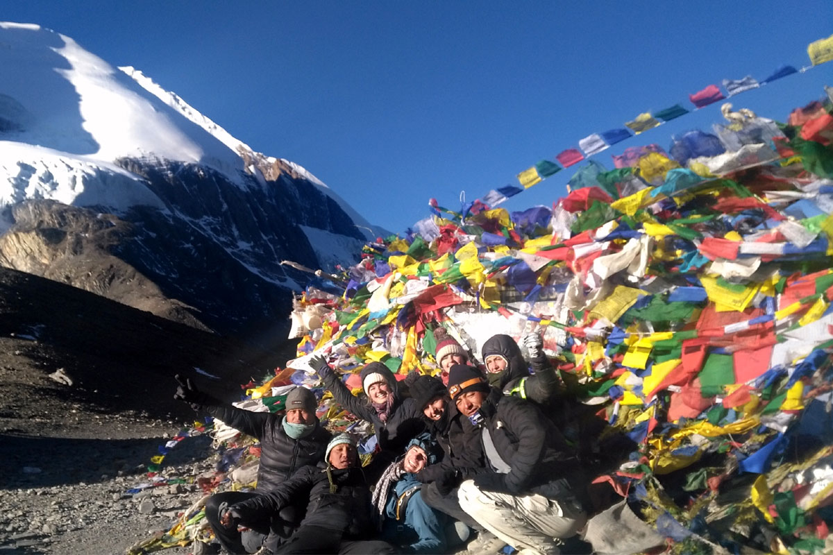
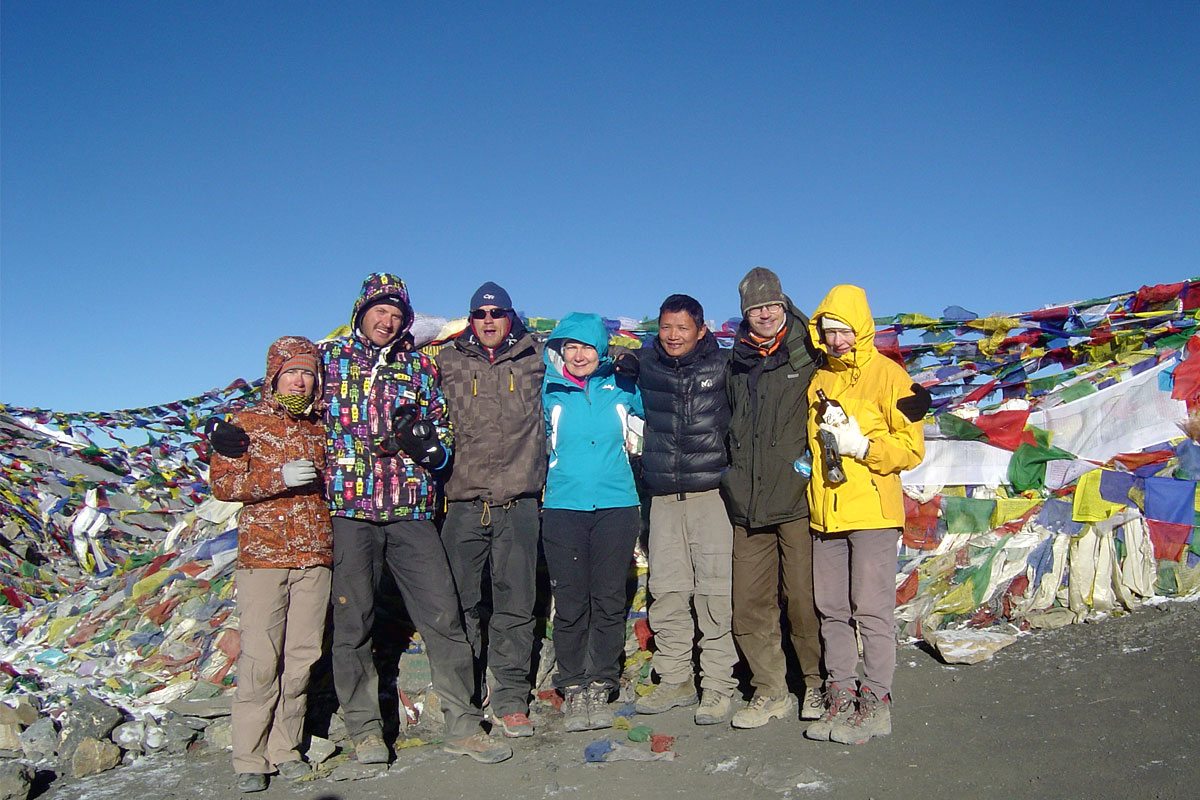
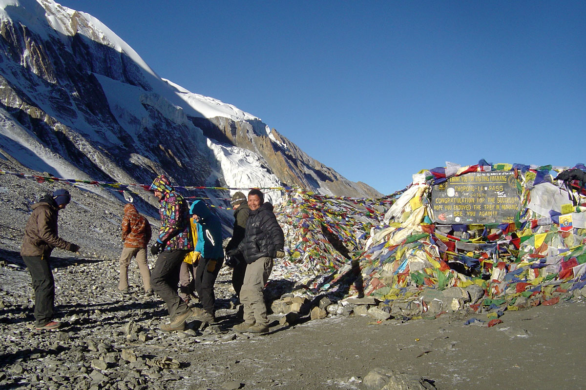
| 10 | Cross Thorong La Pass, descend to Muktinath | 5,416 m (pass) / 3,760 m (Muktinath) | The main pass-crossing day |
| 11 | Drive Muktinath to Tatopani | 1,190 m | Off-road jeep/bus section, 7 to 8 hours |
| 12 | Trek Tatopani to Ghorepani | 2,860 m | |
| 13 | Trek Ghorepani to Nayapul via Poon Hill, drive to Pokhara | — | Poon Hill sunrise viewpoint included |
Shorter Option (9 Days, from Chame)
If time is limited, a shorter itinerary skips the lower valley walking and drives directly to Chame or Manang, covering the same high-altitude highlights: Manang, Tilicho Base Camp, Tilicho Lake, Thorong La, and Muktinath, before driving out to Pokhara. This cuts the trek to around 9 days but misses Poon Hill and the Ghorepani section. Ask your trip planner which structure fits your available time.
Both itineraries can be adjusted, extended, or combined with an Annapurna Base Camp add-on. Full day-by-day details, accommodation notes, and current departure dates are available on request.
Cost
Cost depends heavily on trip length, group size, and whether you book a group departure or a private trip. As a general guide, published packages for the Annapurna Circuit Trek across Nepal-based operators commonly range from roughly USD 700 to USD 1,300 per person for group departures of similar duration, with private and fully customised trips priced higher. Please contact us for a current, itemised quote based on your preferred dates and group size, as prices are updated seasonally.
What's Typically Included
- Airport pickup and drop-off in Kathmandu
- Ground transportation to and from the trailhead
- Teahouse accommodation during the trek
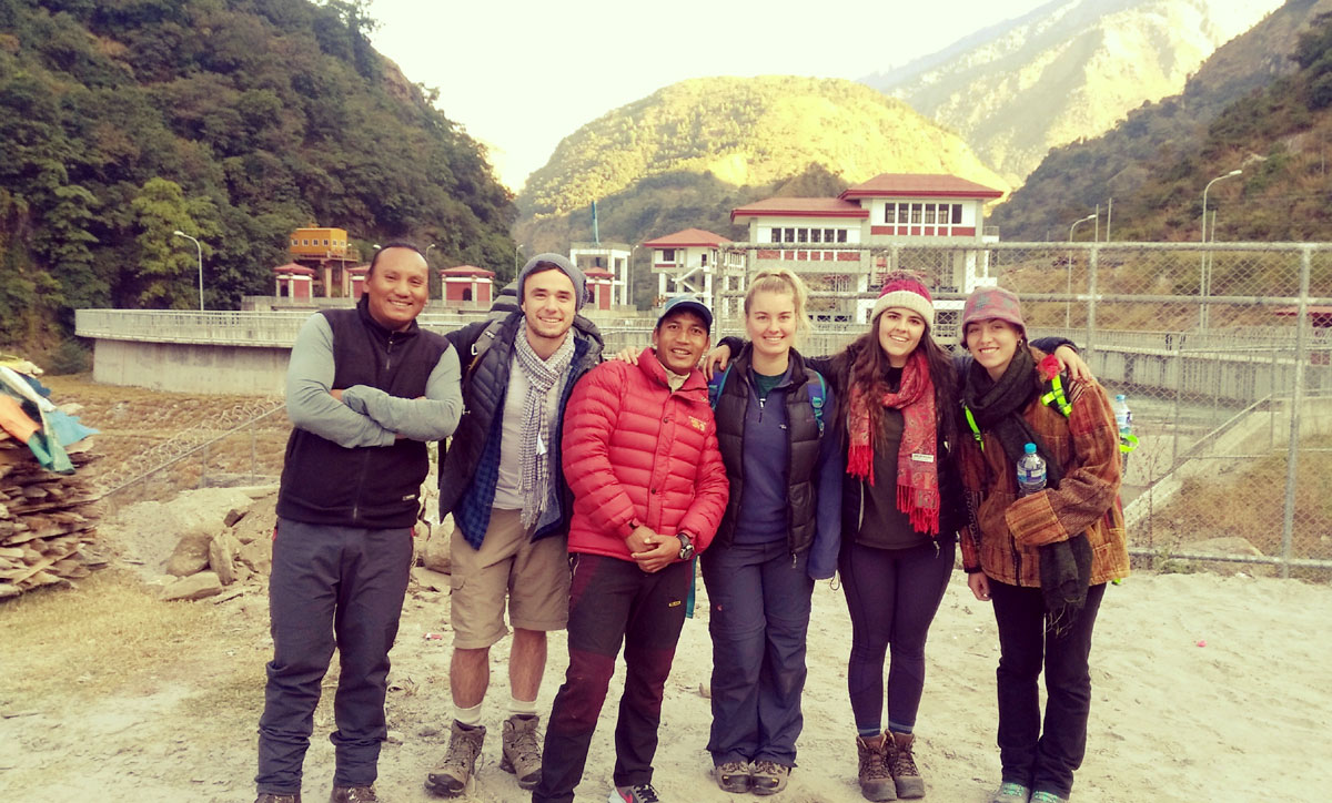
- A licensed trekking guide
- Annapurna Conservation Area Permit (ACAP)
- Standard meals during the trek (breakfast, lunch, dinner), where specified in your package
What's Typically Not Included
- International flights and Nepal visa fees
- Travel insurance
- Porter service (available on request, usually charged per day)
- Personal expenses: hot showers, Wi-Fi, battery charging, bottled water, snacks, and bar drinks
- Tips for guide and porter
What Changes the Price
- Group size: shared departures are generally cheaper per person than private trips
- Trip length: the 9-day shortened route costs less than the full 13-day classic circuit
- Porter service: adding a porter increases cost but reduces physical strain
- Season: peak-season departures (spring and autumn) may have less room for last-minute discounts than shoulder-season dates
Permits and the Guide Requirement
Every foreign trekker needs an Annapurna Conservation Area Permit (ACAP) to enter the region. Since April 2023, Nepal has also required foreign trekkers in conservation areas, including Annapurna, to be accompanied by a licensed guide from a registered trekking agency. Independent, fully unguided trekking is no longer permitted here.
You may still see the TIMS card mentioned on some websites as a separate requirement. Sources currently disagree on whether TIMS still applies to the Annapurna region specifically, some report it has been effectively replaced by the mandatory guide rule, while others still list it as required alongside ACAP. Because this kind of regulation can change, we recommend confirming the current requirement with us directly when you book, rather than relying on any single source, including this one.
Permits are arranged through your trekking agency as part of your package and are typically processed in Kathmandu or Pokhara before you head to the trailhead.
Difficulty and Fitness
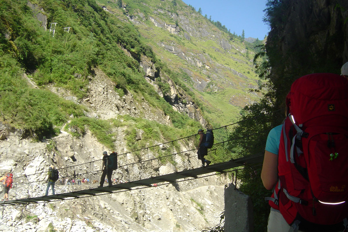
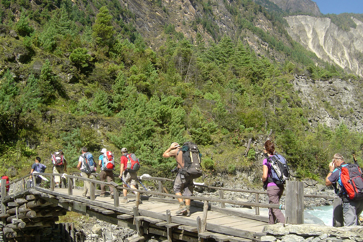
The Annapurna Circuit is a long trek with one demanding high-altitude pass crossing, rather than technical climbing. Most days involve 5 to 7 hours of walking on established trails, with the Thorong La crossing day being longer and more strenuous due to the early start, cold, and altitude.
You don't need mountaineering experience, but general hiking fitness matters. If you can comfortably walk several hours on consecutive days at home, ideally with some hill or stair training beforehand, you're reasonably well prepared. The main variable isn't leg strength, it's how your body handles altitude, which fitness alone doesn't guarantee.
Maximum Altitude and Acclimatisation
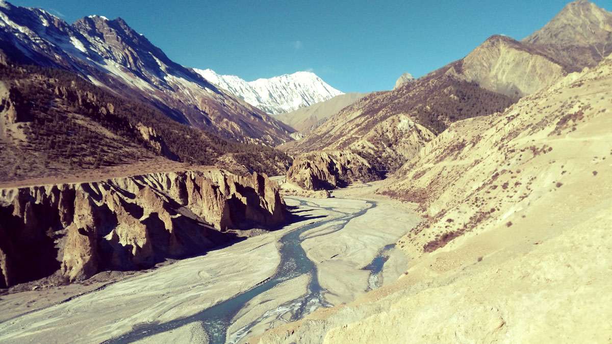
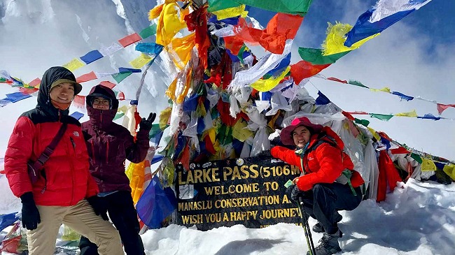
The trek's highest point is Thorong La Pass at 5,416 m, with several nights spent above 4,000 m beforehand, including Manang (3,540 m), Tilicho Base Camp (4,150 m) and Thorung High Camp (4,925 m). The built-in acclimatisation day in Manang is there for a reason: use it for a gentle day hike rather than full rest in bed, gradual movement at altitude helps the body adjust better than staying still.
Watch for headache, nausea, dizziness or unusual fatigue as you climb. Report symptoms to your guide early. Mild symptoms that don't improve with rest, or that worsen, are a sign to stop ascending or descend, not to push through.
Best Time to Trek
Spring (March to May) and autumn (September to November) are the most reliable seasons, with the clearest skies and driest trails. Autumn tends to be the busier of the two, since it follows the monsoon and offers the most consistent visibility, while spring adds rhododendron blooms at lower elevations.
Winter (December to February) brings heavy cold and snow at altitude, and Thorong La can become difficult or temporarily unsafe to cross, so this isn't the ideal season for the full circuit. Monsoon (June to August) brings rain, leeches on lower sections, and reduced visibility on the eastern approach, though the trail becomes noticeably drier once you're deep into the Manang side, which sits partly in Annapurna and Dhaulagiri's rain shadow.
Weather and Temperature by Season
In spring and autumn, expect daytime temperatures around 15 to 20°C at lower elevations below 3,500 m, dropping toward or below freezing at night once you're above that altitude. At Thorong High Camp and on the pass itself, early-morning temperatures well below zero are normal even in the best months, dress and plan accordingly regardless of the season you choose.
Accommodation
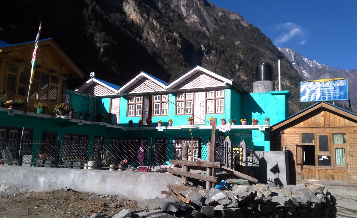
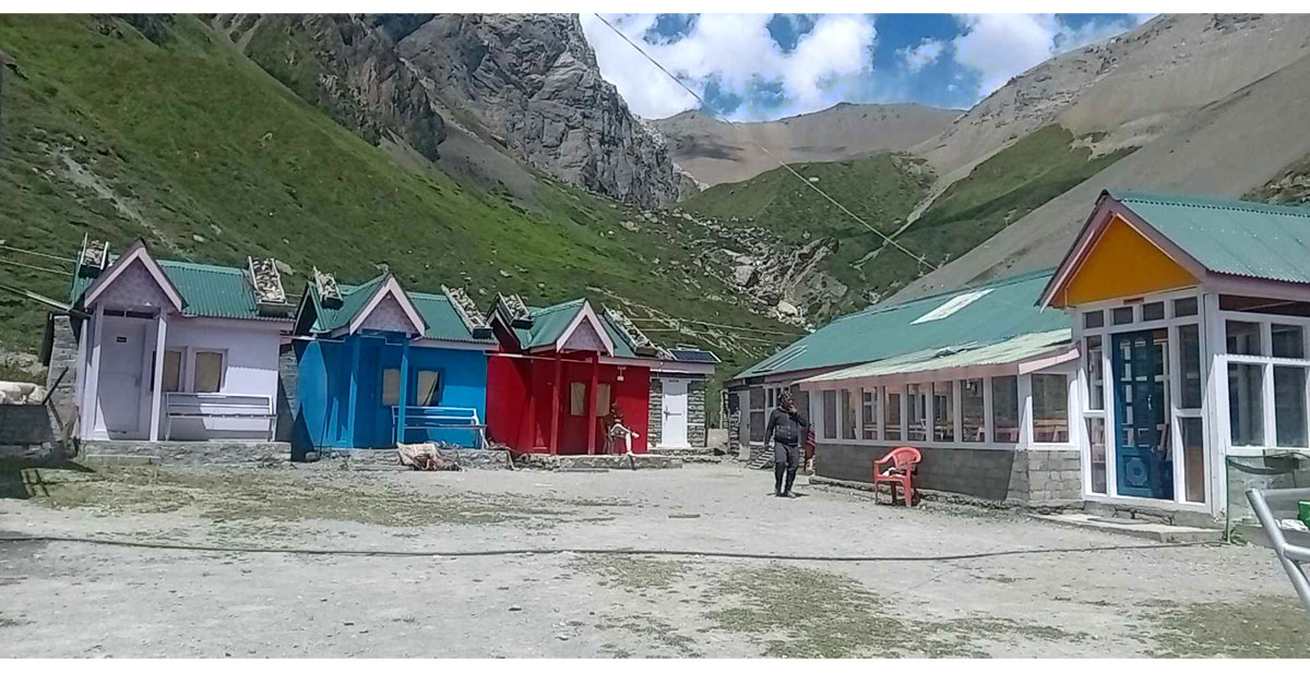
You'll stay in teahouses (locally run lodges) throughout the trek rather than camping. Rooms are simple, typically twin-share with a bed, pillow and blanket, and shared bathroom facilities, especially at higher elevations. Standards are generally better and more varied in lower villages like Chame and Manang, and more basic at high camps like Thorung Phedi and High Camp, where options are limited by altitude and logistics.
Food and Drinking Water
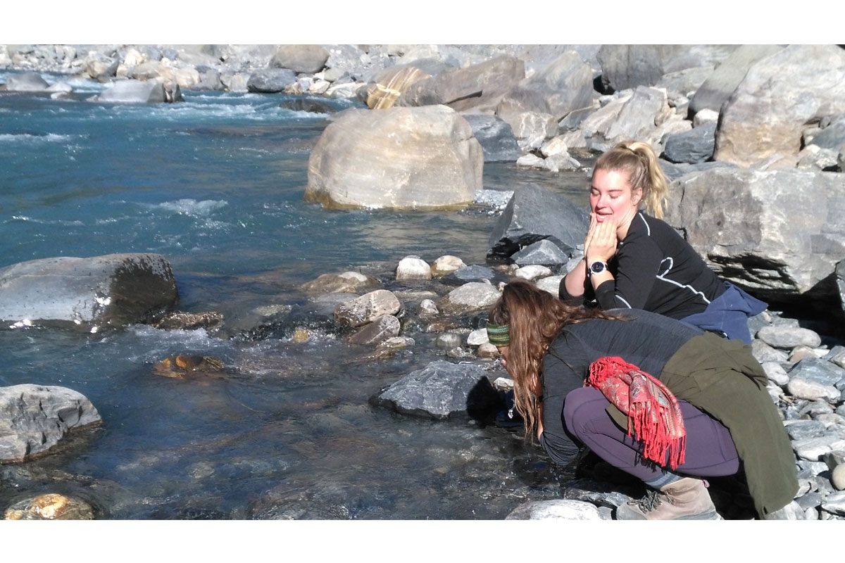
Teahouses along the route offer set menus, usually featuring dal bhat (the Nepali staple of rice, lentils and vegetables), noodles, soup, and basic Western options like pasta or pancakes. Meal prices rise with altitude due to the cost of carrying supplies up. Bottled water is available to purchase at teahouses, or you can treat tap or stream water with purification tablets or a filter to reduce plastic waste and cost.
Transportation
The trek typically starts with road transport from Kathmandu to Besisahar, Jagat, or further up the valley to Chame or Dharapani, depending on your itinerary. After crossing Thorong La, transport from Muktinath toward Tatopani or Jomsom is available by jeep or local bus. From Pokhara back to Kathmandu, options include a tourist bus (around 6 to 7 hours) or a short domestic flight at extra cost.
Packing Guidance
Layering matters more than any single piece of gear on this trek, given the temperature swing between low valleys and the high pass. Core items include a warm sleeping bag rated for sub-zero temperatures, a good down jacket, waterproof and windproof outer layers, sturdy broken-in trekking boots, trekking poles (genuinely useful on the Thorong La descent), and sun protection for high-altitude UV exposure. Most gear can be bought or rented in Kathmandu, which is worth knowing if you'd rather not fly with bulky equipment.
Altitude Sickness and Safety
Acute Mountain Sickness (AMS) is the main safety consideration on this trek, given the altitude profile. Ascend gradually where your itinerary allows, stay hydrated, avoid alcohol at altitude, and take the Manang acclimatisation day seriously. Your guide will monitor the group and can arrange descent if needed, this is one of the practical reasons the guide requirement exists, beyond the regulatory side.
Basic first aid is carried by trekking staff, but this is still a remote, physically demanding route with limited emergency infrastructure at higher elevations. Evacuation from high camps, if needed, generally depends on weather conditions for helicopter access.
Travel Insurance
Travel insurance is required for anyone trekking with us. Make sure your policy covers high-altitude trekking specifically (many standard policies cap coverage around 3,000 to 4,000 m, which is well below Thorong La), plus emergency medical evacuation and helicopter rescue. Carry a copy of your policy details during the trek and share a copy with us in advance so we can act quickly in an emergency.
Responsible Trekking
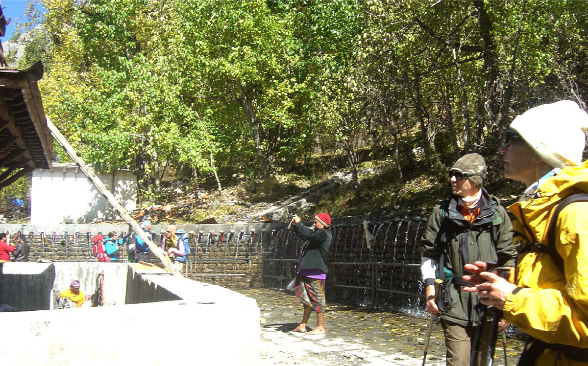
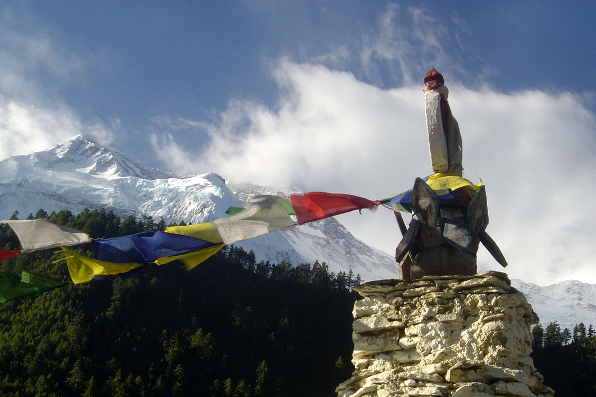
Use refillable bottles with purification where possible instead of buying bottled water at every stop. Stick to marked trails to avoid erosion on fragile alpine terrain, and be mindful around religious sites like Muktinath and local monasteries, dress modestly and ask before photographing people or ceremonies. Buying snacks, tea and basic supplies from local teahouses rather than bringing everything from Kathmandu also puts more of your spending directly into the villages you pass through.
Common Mistakes to Avoid
Skipping or rushing the Manang acclimatisation day. It's built into the itinerary for a real physiological reason, not as a buffer day.
Underestimating cold at Thorong High Camp and the pass. Even in the warmest trekking months, this section is genuinely cold before sunrise.
Assuming the whole route is still off-road wilderness. Road sections now exist on parts of the classic route; know this in advance so it doesn't feel like a letdown mid-trek.
Booking travel insurance that doesn't cover the actual altitude. Check the policy's altitude cap against 5,416 m specifically.
Packing too light for temperature swings. Warm valley afternoons and freezing high-camp mornings both happen on this trek.